$424.68
On Hold
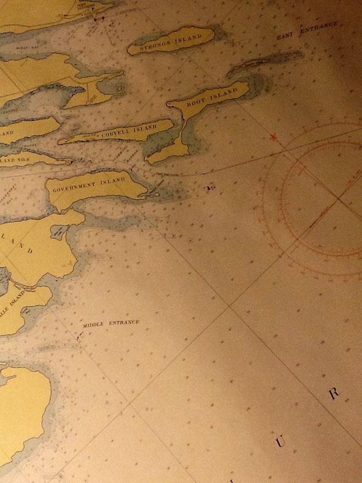
Lake Huron Survey Map, Les Cheneaux Islands Michigan No. 601, Color, 36 x 48 c.1955


Vintage U.S. Lake Huron polyconic projection survey map.
Les Cheneaux Islands Michigan Chart No. 601 shows Marquette, La Salle and Government Islands.
Published by Department of The Army Corps of Engirneers.
Overall condition is near mint to mint.
Measures 3ft x 4ft when unrolled.
c.1955
Les Cheneaux Islands Michigan Chart No. 601 shows Marquette, La Salle and Government Islands.
Published by Department of The Army Corps of Engirneers.
Overall condition is near mint to mint.
Measures 3ft x 4ft when unrolled.
c.1955

